

Snow depths are still below where they should be, so until Europe gets its next sorely-needed big dump, the message, once again, is aim high, as there is still plenty of good skiing to be found at altitude.
Europe
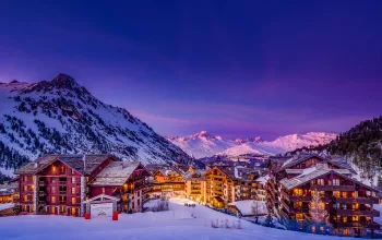
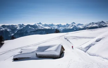
Austria has fared best of all the Alpine countries over the past week, with some decent top-ups in Lech (105/65cm) and St Anton (140/35cm) and the Ski Welt resorts such as Hopfgarten (95/65cm). And there is a lot more forecast for this weekend, with Flachau in the Ski Amadé (125/65cm) expecting 50cm over Friday/Saturday. The risk, however, is that freezing levels are also expected to be high – over 2,200m - so heavy snow on the upper slopes can easily mean heavy rain at lower levels.
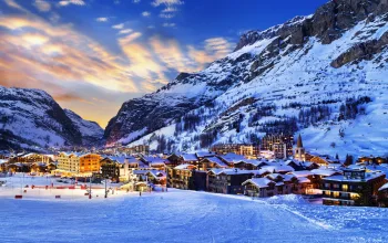
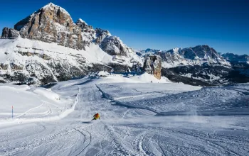
This could be the pattern across France and Switzerland too, as initial mild temperatures threaten to turn predicted weekend snow across the Portes du Soleil and Le Grand Massif into rain, increasing pressure on the upper slopes and higher-altitude resorts, which have taken heavy traffic during the New Year week. ‘Hard lower, packed powder upper’ is a recurring theme in many a resort’s piste status report all over the Alps.

The upside, for those travelling this week is that with the New Year crowds gone, we’re into a quieter period, so any snowfall this weekend could refresh battered slopes nicely.
In the Pyrenees, however, although St Lary Soulan (160/70cm) tops the French chart for deepest snow, the coming week sees it basking in spring-like temperatures (up to 14°C at base level on Saturday) and clear skies. It’s a similar tale in Andorra which, like the rest of the Pyrenees, has seen no new snow since 28 December, and has balmy weather forecast. And the pattern is the same in Spain, too
Much of Italy seems to have missed out on the recent snowfall that fell on Europe; Sestriere (90/40cm), Sauze d’Oulx (80/40cm) and Madonna di Campiglio (95/10cm) for example haven’t seen snow since 27 December, and across most of the Alpine and dolomite resorts the forecast is for a few light flurries at best.
The skiing continues to impress in Scandinavia, with most lifts now open. In Norway, Voss (190/100cm), continues to out-perform the rest, with nearly 70cm of more new snow forecast for the week ahead. But that comes with thunder, high winds and poor visibility from Saturday through to Tuesday. If you’re there on Friday, enjoy – a bluebird day is on the cards!
In Bulgaria, a light dusting topped up the snow cannons’ efforts in cold temperatures over the weekend and another sprinkle is forecast this weekend.
Milder weather will eventually turn colder in Scotland where some decent falls are forecast at Glencoe and the Nevis Range in particular, where just 20% of pistes are currently open. But as so often, strong winds will be hustling the snow showers through.
North America
No such tales of woe across the Atlantic, where the skiing remains fantastic across the US, with new snow on both east and west coasts. Jackson Hole (224/69cm) continues to head the snow league, following a massive 50cm of new powder, and Colorado also caught a decent top-up. Worth mentioning that, out East, it’s bitterly cold in resorts such as Killington and Stowe (down around -20°C even during the day), with some light flurries due. One usually fantastic resort that’s bucking the powder trend, however, is Heavenly on Lake Tahoe, which is reporting just 148 open acres out of 4,800, and skiing on just 24 of 97 pistes. More snow urgently needed here!

There were further snowfalls in Canada last week. In the east Stoneham (53/53cm) which last week was posting figures of 20/20 with just 18% of pistes open, is now up to 79%. And Monte Sainte-Anne may only be a small resort but it does top the Canadian snow depth league with 203cm on its upper slopes. Of the big players out west, Whistler (135/135cm) is reporting ‘variable ski conditions’ and the week ahead in both BC and Alberta looks a little murky, with a mix of mist, freezing fog, overcast skies and occasional sun.
Deepest snow
Andermatt - 300cm
Engelberg - 260cm
Madesimo - 230cm
Most forecast
Voss - 68cm
Nevis Range - 54cm
Filzmoos - 53cm
Check out our FREE 7-day forecasts here