

Europe
It’s kept snowing in Austria, even down to lower levels, which has been excellent news for skiers already out there. Thursday into Friday were Austria’s big dump days this week. Expect up to 55cm in Ski Amade resorts such as Schladming (100/60cm). The Ski Welt resorts are skiing well with 70/50cm depths now typical. And the Arlberg resorts of St Anton (175/25cm) and Lech (110/55cm) are expecting 20-25cm this week.
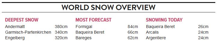
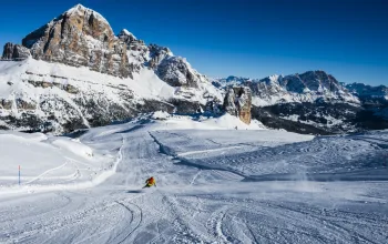
France looks set to be the biggest winner this week. Already skiing much better with colder temperatures sustaining recent fresh snow, the past few days will result in some serious accumulations nudging the metre mark in the north-western alpine resorts especially, such as Chamonix, Avoriaz and Flaine. La Clusaz (100/20cm) were expecting 70cm+ as was Megeve (115/40cm). You won’t see too many bluebird days, however, as the snow is set to keep on falling right into next week, with another hefty top up on Tuesday.
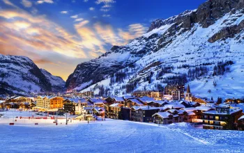
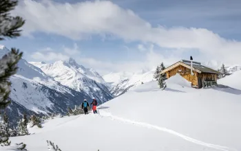
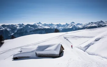
It’ll be a similar story in Switzerland where recent snowfalls and colder temperatures have allowed resorts to post much-improved snow depths even at lower levels. Champery, Verbier and Villars are three resorts forecast to get 60cm+, and 50cm+ totals are expected in many resorts across the country. Andermatt (350/45cm), Engelberg (285/40cm) and Saas Fee (235/35cm) remain top of the snow depth leaderboard despite taking a slight drop in depths over the past week, but this week’s snow should guarantee good skiing and riding throughout next week at least.

The only caveat is that the big falls are likely to cause short-term closures, poor visibility and an even higher risk of avalanches, so anyone heading out to Europe this week should definitely heed local advice.
Much of Italy may well feel deprived this week, as forecast new snow depths are averaging at 20-40cm, with the western side of the country likely to outperform the east. Courmayeur (160/40cm), for example, has doubled its upper slope totals and is expecting just under 50cm; Cortina d’Ampezzo (150/40cm) will get just 14cm – and most of that is next week. However, the cold and recent fresh snow extended right down the Apennines into the Abruzzo region, and Italy’s overall snow depths are climbing.
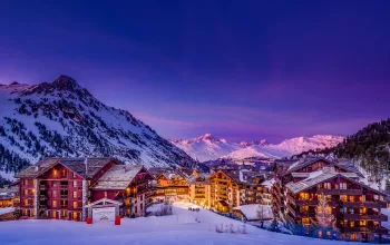
The Pyrenees, has seen more fresh snow arrive, benefitting all the French and Spanish resorts there as well as Andorra. Arcalis (125/75cm) is still the pick of the Andorran resorts, all of which are expecting fresh falls of around 45-50cm – most of that on Friday. St Lary (120/60cm) in the French Pyrenees has seen no new snow in the previous week, but is expecting 55cm over the coming week. The Spanish Pyrenees resorts of Formigal (90/20cm) and Baqueira Beret (140/65cm) should have seen nearly a metre of new snow by early next week.
Up in Scandinavia, Voss in Norway, (200/120cm) continues to pile up the powder – but new snowfall in Norway and Sweden is unlikely to match the Alps this week. Instead, a humble 33cm is forecast for Voss over the coming week…
In Bulgaria, all resorts saw some fresh snowfall in the past week and another 15-30cm is forecast for the coming week as the alpine storm heads east.
Snow has fallen in Scotland in the past week, and it’s falling again today, as the forecast snow showers move in on a succession of cold fronts. Up to 10cm of new snow is anticipated at the five Scottish ski areas, with Glencoe (50/30cm) this week giving way to Cairngorm (30/20cm) as the destination for most of it.
North America
Across the Atlantic, resorts in the Eastern US states such as Vermont, New York state and New Hampshire have been topped up nicely after the much-hyped ‘worst blizzard in a generation’ lay in to the Eastern seaboard. And more is due. Stratton Mountain (137/61cm) in Vermont registers a rare first place on the snow forecast leaderboard with 30cm predicted.

The Rockies have seen settled and mostly sunny weather, as skiing here continues to impress. Most resorts in Colorado saw a sprinkling of new snow over the weekend. Unfortunately California continues to miss out - alarmingly so. Heavenly has just 28% of pistes open and it and Mammoth have seen no new snow since December. And the week ahead still has a zero forecast. Jackson Hole (203/74cm) comes off a week of freezing fog and no snow to just hover above the 2m mark. The forecast here is for more miserable freezing fog but at least it is predicted to get some more fresh snow, too – around 28cm.
It’s been mostly quiet in Canada. The east continues to post penetratingly cold temperatures, down to -22°C, even in daytime. Whistler’s predicted big dump was more of a dusting but once again look to the upper slopes of its twin peaks for some fresh snow, while shielding yourself against the drizzle in resort.
Again, not a lot of sun – or snow – in Sun Peaks or Sunshine Village, where mist and freezing fog still dominate. But a little light snow should top up the pistes.
Last Word
This week goes to Germany, where Garmisch saw about 25cm of fresh snow last weekend to post upper slope depths of 275cm. Great news if you’re planning a stay in the Zugspitze igloo with its view over four countries! iglu-dorf.com
Take a look at our other free 7-day forecasts