

Snow Magazine snow reports in association with
![]()
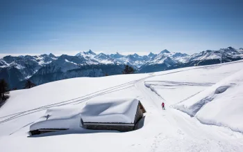
It’s all about Siberia over the next few days…as a major switch in the weather brings in a spell of intense cold from the East.
That means the possibility of fresh snow, especially in the southern and eastern Alps, but also ensures any precipitation will be of the white fluffy kind rather than rain.

Snow could fall any time from today, with the heaviest falls likely on Saturday – in the south. However, the north western French Alps and most of Switzerland will see more sun than snow, while Austria looks to be getting murkier the further east you go.
The freeze point will start to steadily drop everywhere from today and is due to be at 0m from Sunday, which will herald some extremely nippy daytime temperatures of -20C or more.
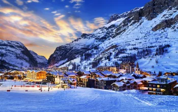
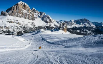
FRANCE
The predicted new snow fell on cue at the weekend with 30cm at Flaine (180/450cm), for example, which is still topping French snow depths.
La Rosiere (280/440cm), Tignes and Val d’Isere (230/370cm) and Les Arcs (140/390cm) are reporting great skiing conditions following their weekend top-ups. Same for Chamonix (100/405cm), and the Three Valleys, where Meribel (110/310cm) has had a marvellous half-term. Most of the above, however, will miss out on the heaviest new snow, with flurries at best and some decent sun. However, where the skies remain clear, watch those already cold daytime temperatures plummet on Sunday, especially on the mountain.
Isola 2000 (120/200cm) in the southern Alps will see more snow than sun, and is expecting 25cm over the coming week, with most falling on Saturday.
SWITZERLAND
With the exceptions of Zermatt (140/350cm) and Saas Fee (120/460cm), to the south, Switzerland will largely miss out on new snow in the coming week, though many resorts have enjoyed top-ups in the past 7 days.
The Jungfrau region is reporting great skiing, with Grindelwald (50/240cm) seeing an improvement in its upper slopes, despite rain in resort. Even here, though, the freeze-point will eventually fall allowing drizzle to give way to light snow.

Engelberg (50/590cm) continues to claim the snow depth top spot. But again the story will be of colder temperatures kicking in everywhere, especially from Sunday.
ITALY
Steady to moderate snowfall is expected across much of northern Italy in the coming week, and the Monterosa resorts, such as Gressoney (100/250cm) and Zermatt’s neighbour, Cervinia (250/395cm) will see accumulations of 35-40cm, with Saturday the heaviest day.
But, once again, it’s the lesser known Piedmontese resort of Prato Nevoso (120/200cm), home of the Italian Snowboard Club, that stands out from the crowd, with more than twice the amount of new snow forecast – an eye-opening 78cm. Half of that is due on Saturday alone.
A little less new snow in the Dolomites, but Canazei (50/140cm) is due around 30cm, and Alta Badia (60/180cm) around half that, expect to see less of the sun here than in France or Switzerland.
AUSTRIA
Some sunshine in the west where St Anton (130/365cm) is reporting great skiing conditions, after a weekend top-up. While the Ski Welt areas such as Brixen and Westendorf (80/165cm) can expect more mist and cloud.

Steady light snow will fall over most of the next week in Saalbach Hinterglemm (120/230cm) though the accumulations won’t amount to much.
Quiet generally in Austria, though here too, the temperature looks set to get significantly colder from Sunday, which is good for any new snow that does fall.
PYRENEES
They’ve had masses of new snow all over the Pyrenees. It’s been snowing up till today, with some incredible conditions now being reported.
And with pretty much wall to wall sunshine over the Pyrenees for the next five days, there’s no better time to head out to where the slopes are generally quieter and everything is usually cheaper.
Expect great skiing on the French side at Bareges (100/130cm) in Andorra, where Arcalis (130/220cm) is our pick of the resorts, and in the Catalan Pyrenees where Baqueira Beret (130/210cm) is also basking in improved snow conditions.
SCANDINAVIA
After recent fresh snow in Norway, conditions are looking good at Lillehammer (60/210cm) and Voss (90/260cm) in particular. Not much new snow forecast here, but plenty of sun.
Over in Sweden, finally a little new snow is coming the way of Are (85/90cm) but only about 10cm or so. Still, with temperatures remaining cold it’ll stick around.
And in Finland, clear skies, bitterly cold and no new snow.
REST OF EUROPE
A snowy week ahead in Bulgaria – nothing too heavy till Sunday, but accumulations of around 35cm for Bansko (50/220cm) and Borovets (130/180cm).
More light to moderate snowfall in Slovenia, with Kranjska Gora (60/120cm) picking up 25cm (heaviest Thursday) and around 20cm for Vogel (80/120cm).
In Germany, some light snow, a lot of fog and getting colder (-23C) in Garmisch (50/380cm)
SCOTLAND
Epic. The Scottish resorts are sitting on the most snow they’ve had in ages, with Glencoe (150/200cm) hitting the magic 2m mark – that’s significantly more than many Alpine or Scandinavian resorts.
Even The Lecht (which was bottom of the Scottish charts) now has 100cm on its upper slopes.
There have been some access problems, with road and slope closures and high winds as the snow was falling, but with the week ahead forecast to be cold and sunny, it’s looking like bonanza time!
CANADA
As usual, the picture is mixed. There’s been some fresh snow in the West and in Alberta, but the week ahead looks quieter with most of the new snow this time falling in the East, where Tremblant (a mere 60cm) could benefit from around 20cm, though high winds could move a lot of that around.
Colder temperatures are good news for Whistler (now hitting the 3-metre mark on 302cm) which has around 15cm due. But from there the totals fall away and there’s little new snow for the likes of Sun Peaks (170/226cm) or Sunshine Village (190cm). Still with temperatures remaining on the cold side the conditions are holding up well.
US
A quiet week overall in the States, too, with modest accumulations of between 10 and 20cm over in the Eastern resorts such as Stratton Mountain (66/76cm) in Vermont and Sugarloaf (46/76cm) in Maine.
As for the big names, Jackson Hole (183/254cm) has seen some fresh snow and could see a little more at the weekend.
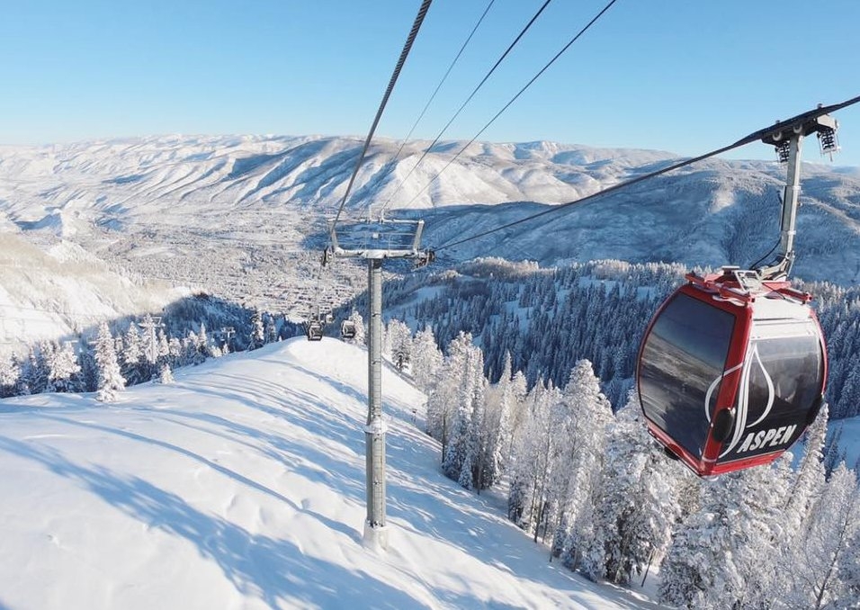
Northstar at Tahoe in California (46/130cm) is expecting a dump tomorrow but then it’s mostly sunshine. Likewise for Mammoth (91/213cm). Aspen, Colorado (213cm) is forecast a week of patchy light to moderate snow punctuated by spells of good sunshine. Sounds ideal. And in Alaska, there’s a mix of a little light snow and sun at Aleyska (30/246cm)
AND FINALLY
There’s skiing to be had in England at Yad Moss – just. The Teesdale slope, run entirely by volunteers, is hoping the weather remains cold enough to run the tow on Sunday 25 February. However, they will need to fill a couple of gaps and, as this snow report was compiled, were calling for six keen diggers to help move some snow onto the tow track. If you can help, turn up at 10am at the ticket office on Sunday. For the latest, see yadmoss.co.uk
Treat yourself to a break in the snow and stay at the ski-in-ski-out, Hotel Montana in La Tania, Courchevel. Start your stay in the 4th March for just £794pp, including 7 nights accommodation, half board catering, flights and transfers.
BOOK NOW
![]()