

European snow report
Fresh snow fell across Austria this week, and though the lower slopes are suffering, up the mountain winter still holds sway, with some decent powder falls reported in the Arlberg and Ischgl, for example, even though it fell as rain in many resorts. Ischgl (100/10cm), Lech (190/70cm) and Filzmoos (140/50cm) are among several resorts expecting up to another metre of new snow in the next week, with the heaviest falls set for Monday. Kaprun (290/100cm) is reporting ‘spring snow conditions’ and this won’t be helped by temperatures up to 10C from Tuesday.
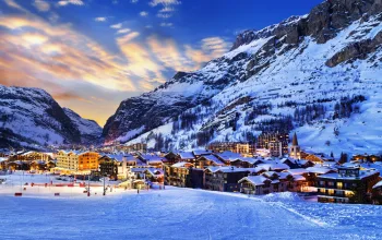
It’s a spring-like picture in France too, where the Easter crowds will find top to bottom runs serving up pretty much every conceivable snow-type from powder at the top to slushy at the base. Argentiere (190/5cm) is expecting the most new snow – around half a metre, but that 50cm won’t be improved by rising temperatures and rain. In the Portes du Soleil, Avoriaz (280/140cm) will rejoice in half a metre of new snow, while lower down Morzine (195/70cm) will see rain in town as the temperatures stay mostly well above freezing. In the three valleys, plenty of sunshine is expected at Meribel (145/70cm), where fresh snow has fallen on the upper slopes.
But our advice is get as high as you can for the best snow in the French alps. Tignes (160/100cm) and Val Thorens (205/120cm) are expecting a dusting, along with blue skies
It’s clear skies all the way for the Pyrenees where Bareges (340/160cm) still tops the French snow depths but temperatures will soar to the low teens, meaning spring skiing aplenty.

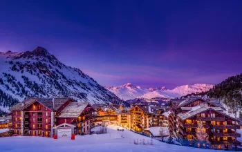
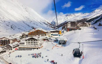
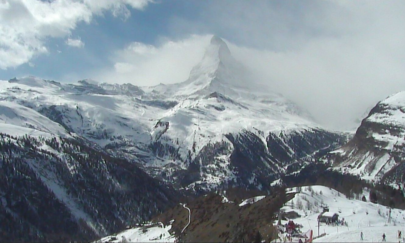
It’s a similar story of spring having sprung for Switzerland, where Verbier (220/10cm) broke its snow drought this week and is expecting another dump come Sunday night, but the likelihood is this will fall as rain in town. Likewise for low-lying Grindelwald (160/10cm). Andermatt (500/60cm) should hold on to its five metres courtesy of some 73cm of fresh snow Sunday into Monday, when pretty much every Swiss slope from Arosa to Zermatt should see reasonable snowfall.
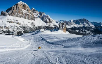
Snow magazine’s been in Italy this week, in the Dolomites, but it’s the west side of the country that has again seen the heaviest new falls. In the East, the Sella Ronda slopes were a mix of low level slush or fresh snow and low cloud on the higher stretches around Arabba and Canazei yesterday. Alta Badia got a nice top up on the upper slopes, but the Easter week forecast here and across most of Italy is for sunshine and rising temperatures. Stay as high as you can!
Andorra is holding on to most of its winter snow, albeit softening, but the week ahead looks fine and sunny and temperatures peaking at 14C in Grandvalira (210/140cm) for example.
After some new snow on the Spanish side of the Pyrenees the sun’s coming out at Baqueira Beret (340/155cm) and Formigal (280/140cm). And after its fresh snowfall during the past week, the Sierra Nevada (190/140cm) is now joining the sunshine club and likely to post resort temperatures into the high teens.
In Norway, for a change it’s not Voss (200/120cm) grabbing the lion’s share of next week’s new snow – that honour goes to Norefjell (65/55cm). high winds are the story in Sweden where Are (50/40cm) is expecting 95mph winds to scour the upper reaches of the peak.
In Bulgaria, Borovets (310/140cm), Bansko (330/195cm) and Pamporovo (190/150cm) all have further snow forecast – up to another half-metre, but this is likely to fall as rain here too at resort level.
Scotland has had some fresh snow - and there’s more to come at Nevis Range (70/30cm) and Glencoe (80/30cm), prolonging the season further.
North America snow report
There’s been some good snow falling in Utah, where Park City (145/145cm) and Snowbird (193/193cm) are now beautifully set to enjoy some bluebird days into next week. Up to 40cm of new snow too for Colorado, with sunshine forecast here too. In Wyoming, Jackson hole (218/30cm) is in great shape this late in the season, with sunshine possibly giving way to more another light dusting around Tuesday. California’s woes continue as the snow melts even further. And back East, finally the cold temperatures have been replaced by mild and cloudy weather. Base depths are still good at resorts such as Killington (102/76cm), where the milder temperatures are softening pistes nicely.

Up in Canada fresh snow has fallen across much of BC but with relatively high freezing levels, the snow remains heavy. Cooler temperatures mean conditions are better across the Rockies in Alberta, where Sunshine Village (165/99cm) and Marmot Basin (130/104cm) are reportedly skiing nicely. Back east it’s not quite as cold at Tremblant (119/89cm) or Mont Sainte-Anne (170/110cm) and a little more snow is in the mix for next week. Biggest snowfalls in Canada are due at Whistler (188/188cm), but don’t be surprised if that mostly falls as rain up to 1,900m.
Last word
….this week, goes to unfashionable Poland where Zakopane (110/30cm) should see its spring conditions enhanced by around 70cm of fresh snow throughout a very snowy week ahead.