Snow Magazine snow reports in association with
![]()
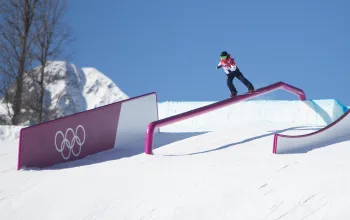
Overview
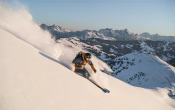
Mother Nature duly delivered on her promise of ‘significant snow’ in the Alps, with many resorts overwhelmed by one of the biggest dumps seen in years. Flights were affected, roads closed and mountains closed as the storm unleashed nearly a metre of snow in the northern French Alps and Switzerland.
On Monday, it was the turn of the southern Alps, including northern Italian resorts in the Aosta Valley and Dolomites to welcome the snowfall. More heavy snow is due towards the weekend, with about 30-60cm forecast which brings avalanche warnings and skiers are advised to stick to the pistes.
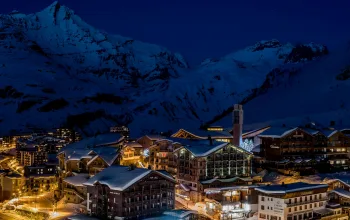
France (Alps)
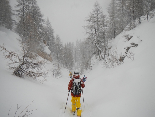
Last week we were reporting snow depths in Val d’Isere and Tignes of 35/80cm. Seven days on those figures read 100/175cm, with snowfall set to return tonight (Thursday). Meanwhile Avoriaz (100/150cm) and Alpe d'Huez (50/90cm) received half a metre with more due. Chamonix (50/130cm) is expecting another half-metre this week.
Les Arcs opens officially this weekend, and after another top-up of nearly 40cm over the rest of this week, will start the lifts turning under clear skies and with superb snow depths of 60/140cm.
Courchevel (90/120cm) and Méribel (50/120cm), are due another 20-30cm over the next couple of days but the star of the Three Valleys is undoubtedly Val Thorens (165/200cm) with 90% of pistes open and a glorious blue-sky weekend to come!
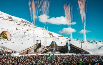
The Snow Magazine team in Tignes this week
Austria
Austria missed the ‘worst’ of the weekend snow, but having already had plenty of it earlier, snow conditions remain excellent. The country’s resorts can expect ‘dustings’ totally around 15-20cm over the next few days, and the other good news is that temperatures are set to remain cold here, even to lower levels.
Kaprun (55/250cm) with near-perfect conditions on its glacier runs, still tops the Austrian snow depth chart, and has 90% of pistes open, as does Solden (70/180cm). Snow depths and ‘runs open’ totals are creeping up at St Anton (50/150cm), which now has 80% of pistes open, as does Soll (20/105cm) in the SkiWelt, and Obergurgl (130/190cm) while lower-lying Kitzbühel (40/70cm) now has 60% open, compared with 40% a week ago. Conditions in these north-eastern Alps have been the most challenging with warmer winds melting snow.
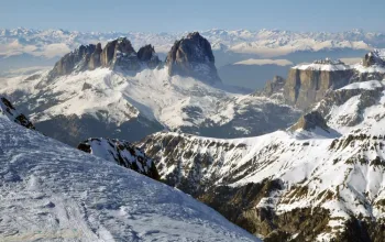
Italy
Last week, Italy’s snow picture was still a bit variable, but the past couple of days have changed all that and now the gaps have been filled across the Aosta Valley, Piedmont and the Dolomites.
Cervinia (50/130cm), which last week was a bit scratchy at resort level with just 10cm, has filled out nicely. Madonna di Campiglio (50/100cm) in the Brenta Dolomites, has pretty much doubled depths all round. Over in the eastern Dolomites, Alta Badia (60/90cm) now has 80% of its runs open, while 60% are open at Cortina d’Ampezzo (40/70cm). Courmayeur (50/150cm) is forecast to receive another 45cm this week, but much of Italy will be quieter this week, with clear skies, colder temperatures and sunshine likely from Sunday.
#Snow sign of it stopping in #Courmayeur pic.twitter.com/w5locGIbX9
— Courmayeur (@courmayeur_ski) December 11, 2017
Switzerland
After Verbier (110/140cm) caught the best early December snow it has seen in years, with up to another 40cm due today and tomorrow, snow conditions now look good across nearly all the Swiss Alps.
Engelberg (40/360cm) still boasts the best overall snow figures in the Alps, and has been joined at the top by Gstaad (40/360cm) and Les Diablerets (40/360cm).
The Jungfrau region is looking much better with Murren (55/145cm) and Grindelwald (45/85cm) benefiting from some lower temperatures.
All Swiss resorts can look forward to further snowfall of up to 40cm over the next few days before the skies clear next week, so if you’re heading out there this weekend – lucky you!
Scandinavia
Voss (50/140cm) is the best of the Norwegian resorts, where after a few flurries tonight the rest of the week looks sunny, before clouds roll back in on Monday. In Sweden, Are (50/60cm) now has 50% of runs open, but a murky week is in prospect with light snow turning to drizzle at resort level.
Pyrenees
Top Spanish resorts Baqueira Beret (65/110cm) and Formigal (40/80cm) are both fully open and had a decent top up at the end of last week. Formigal, in particular is expecting another 30cm today and Friday.
On the French side St Lary Soulans (30/50cm), still has only half its pistes open, and could do with another top-up. It’s due some heavy snow today (Thursday), though frustratingly that is likely to fall as rain at lower levels.
Scotland
Four of Scotland’s five ski areas were open over the weekend, including Glencoe (10/30cm) albeit with just 30% of runs open. A milder start to this week has affected the snow quality, but as anyone keeping an eye on UK forecasts will be aware, winter is due to return with a vengeance from today.
Rest of Europe
Spain’s Sierra Nevada (30/60cm) has 80% of runs open, but here the forecast is more sun than snowfall. Garmisch (20/195cm) in Germany still has 20% of runs open – all at glacier level – but its phased resort opening begins this weekend and another 15-20cm over the coming week should see it looking happier by the time it is fully open over the Christmas weekend.
#SierraNevada preparada para su apertura... Hoy, 51 pistas, 40 km esquiables y 14 remontes en funcionamiento... https://t.co/6DQFBuWUhE pic.twitter.com/G5Ont9dW8a
— Sierra Nevada (@websierranevada) December 14, 2017
USA
The slow start to the US season continues, with precious little snow in the immediate forecast and not a whole lot happening yet.
Jackson Hole (66/124cm) now has around 40% of runs open, while over in California, Mammoth (20/60cm) is now officially open. Heavenly (20/60cm) still has just 3% of its terrain open. And out East, Stowe (30/90cm) has had a slight top-up and now posts nearly 60% of trails open.
Up in Alaska, Aleyska (25/127cm) is partially open but continues to suffer with a mix of heavy snow at the top of the mountain and rain at the base.
Canada
Still Whistler (137cm upper), which has 40% of runs open, tops the Canadian league table, but a mix of sunshine, snow flurries at the top of its twin peaks and drizzle in the village means we’re still waiting for another big dump.
Further inland, Lake Louise (79/122cm), 80% of runs are now open and good skiing is to be had on packed powder. Here too, it’s hard to find much snow in the immediate forecast.
On the eastern side, Tremblant has 61cm on its upper slopes and 47% of pistes are now open. Light snow flurries is the frustrating forecast stretching into next week, for anyone heading over the Atlantic for their Christmas ski fix.
Get away for Christmas with Alpine Elements fully catered including flights and transfers from only £400!
or spend new year in Meribel from only £670!
![]()